

Trustworthy PNT — from Signal to State
From raw GNSS signal processing to integrity-aware autonomy. Six pillars covering the complete PNT chain for embodied intelligence.
IPNL builds trustworthy positioning, navigation, and timing systems from receiver-level GNSS signal processing to integrity-aware autonomy. We study the full PNT chain — receiver-level signal processing, urban signal degradation, 3D environmental awareness, factor graph optimization, multi-sensor fusion, and integrity monitoring — so that robots, vehicles, drones, smartphones, and safety-critical systems know not only where they are, but also whether their position can be trusted.
Our lifelong technical mission is robust, low-cost sensor fusion for embodied intelligence — drones, ground vehicles, and the next generation of mobile robots — using a set of local sensors and seamless operation across open-sky, urban canyon, indoor, and GNSS-denied environments.
The IPNL PNT stack
We own the complete signal-to-application chain — from raw GNSS signal processing up to integrity-aware autonomy:
Signal

Recognition
- 2022 ION Per Enge Early Achievement Award — single-awardee per year, second-ever Asian-university recipient
- 2024 Most-Cited Paper in NAVIGATION: Journal of the Institute of Navigation — Factor Graph Optimization for GNSS/INS Integration: A Comparison with the Extended Kalman Filter (Wen, Pfeifer, Bai, Hsu)
- General Chair, IPIN 2024 (Indoor Positioning and Indoor Navigation Conference, Hong Kong; 300+ delegates)
- Founding Chair, ION/IAG Working Group on Positioning and Navigation at Asian Urban Canyons (since 2019)
- Associate Editor, NAVIGATION: Journal of the Institute of Navigation (since 2022); IEEE Transactions on Aerospace and Electronic Systems (since 2024)
Core paper-linked research network
Recurring coauthor affiliations and research partners visible across DOI-indexed IPNL publications and public project pages.
 University of Tokyo
 University of Calgary
CAUC
CAUC
University of Calgary
CAUC
CAUC
 Shenzhen Polytechnic
 Wuhan University
 NCKU
NCKU
 NUAA
NUAA
 ASTRI
ASTRI
 Imperial
 Southeast University
 Hohai University
 HIT
HIT
 UCL
UCL
 UC Berkeley
 SJTU
SJTU
 Beihang University
 HKU
HKU
 HKUST
HKUST
 DLR
DLREach logo links to a representative publication or public project page.
Additional DOI-indexed collaborators
Additional affiliations surfaced from DOI-indexed publication metadata; each links to a representative paper.
 Arizona State University
3 records
Arizona State University
3 records
 BITS Pilani
3 records
Xi
Xi'an Railway Survey and Design Institute
3 records
BITS Pilani
3 records
Xi
Xi'an Railway Survey and Design Institute
3 records
 Beijing Institute of Technology
2 records
Beijing Institute of Technology
2 records
 Chinese Academy of Sciences
2 records
Chinese Academy of Sciences
2 records
 Huawei Technologies
2 records
Huawei Technologies
2 records
 Shandong University
2 records
Shandong University
2 records
 Southern University of Science and Technology
2 records
Southern University of Science and Technology
2 records
 Tianjin University
2 records
Tianjin University
2 records
 Tokyo University of Marine Science and Technology
2 records
Tokyo University of Marine Science and Technology
2 records
 Transport for London
2 records
Transport for London
2 records
 Xi'an Aeronautical University
2 records
Xi'an Aeronautical University
2 records
 Beijing Jiaotong University
1 record
Be
Beijing Satellite Navigation Center
1 record
Beijing Jiaotong University
1 record
Be
Beijing Satellite Navigation Center
1 record
 Chang'an University
1 record
Chang'an University
1 record
 Chemnitz University of Technology
1 record
Chemnitz University of Technology
1 record
 Curtin University
1 record
Curtin University
1 record
 Giustino Fortunato University
1 record
Giustino Fortunato University
1 record
 Hiroshima University
1 record
Hiroshima University
1 record
 Institut für Automation und Kommunikation
1 record
Institut für Automation und Kommunikation
1 record
 McGill University
1 record
McGill University
1 record
 McMaster University
1 record
Na
Nanjing University of Science and Technology
1 record
McMaster University
1 record
Na
Nanjing University of Science and Technology
1 record
 National Chengchi University
1 record
National Chengchi University
1 record
 NYU / NYU Langone Health
1 record
NYU / NYU Langone Health
1 record
 Parthenope University of Naples
1 record
Parthenope University of Naples
1 record
 Peng Cheng Laboratory
1 record
Peng Cheng Laboratory
1 record
 Ritsumeikan University
1 record
Ritsumeikan University
1 record
 Roma Tre University
1 record
Roma Tre University
1 record
 Shibaura Institute of Technology
1 record
Shibaura Institute of Technology
1 record
 State Key Laboratory of Information Engineering in Surveying, Mapping and Remote Sensing
1 record
State Key Laboratory of Information Engineering in Surveying, Mapping and Remote Sensing
1 record
 Tokyo University of Science
1 record
Tokyo University of Science
1 record
 University of California, Los Angeles
1 record
Un
University of Minnesota
1 record
University of California, Los Angeles
1 record
Un
University of Minnesota
1 record
 University of Science and Technology Beijing
1 record
University of Science and Technology Beijing
1 record
 Université Gustave Eiffel
1 record
Université Gustave Eiffel
1 record
 UNSW Sydney
1 record
UNSW Sydney
1 record
 Xi'an Jiaotong University
1 record
Xi'an Jiaotong University
1 recordResearch pillars
Receiver-Level GNSS Signal Processing and SDR
Software-defined receivers, vector tracking, and signal-quality analysis that turn distorted satellite signals into usable measurements with explicit uncertainty.
Urban GNSS Reliability and Signal Error Modeling
Modeling how GNSS measurements fail in dense cities — NLOS, multipath, diffraction, heavy-tailed errors — so downstream estimation and integrity systems know when to trust them.
Environment-Aware and 3D Map-Aided PNT
Using 3D city models, LiDAR maps, sky visibility, ray tracing, and digital twins to turn the urban environment from an obstacle into prior information for navigation.
Optimization-Based Estimation and Factor Graphs
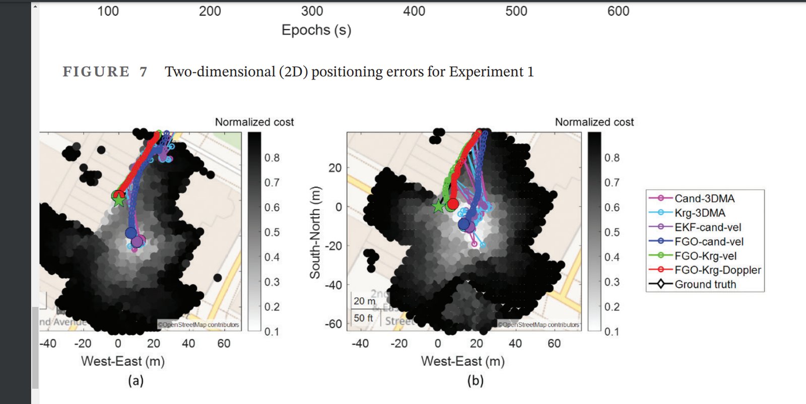
Factor graph optimization as a unifying framework for GNSS, INS, carrier phase, Doppler, maps, perception, and integrity — reasoning over time across heterogeneous measurements.
Integrity, Fault Detection, and Safety-Quantifiable Localization
Navigation systems that estimate both state and trust — fault detection, non-Gaussian overbounding, protection-level computation, and integrity-constrained optimization for safety-critical autonomy.
Seamless Multi-Sensor PNT for Embodied Systems
Tightly coupled GNSS/INS/LiDAR/camera/UWB/Wi-Fi fusion for vehicles, robots, drones, smartphones, and wearables operating across open-sky, urban canyon, indoor, and GNSS-denied conditions.